All issues
Volume 65, Issue 7-8
Bulletin of the Geological Survey of Japan
Displaying 1-2 of 2 articles from this issue
- |<
- <
- 1
- >
- >|
Article
-
Junko Komatsubara2014 Volume 65 Issue 7-8 Pages 85-95
Published: November 19, 2014
Released on J-STAGE: February 06, 2015
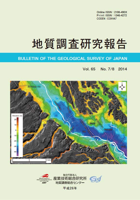
JOURNAL FREE ACCESSThe basal topography of the latest Pleistocene to Holocene incised valley fills under the Arakawa Lowland, Kanto Plain, central Japan is revealed based on 2580 borehole log data. The base of the valley fills in each borehole log is identified based on soil properties and comparison with the data of all-core sampling surveys. These point data composed of longitude, latitude and elevation of valley fill base are interpolated to describe the basal topography by the inverse distance weighting method. The basal map shows a detailed topography of the paleovalley, including buried wave-cut benches and buried terrace planes. The gradient of the paleovalley floor is approximately 1/1000, which is almost the same as that of the neighboring Nakagawa lowland. In some places around the Omiya upland, it would be very difficult to differentiate the Holocene valley fills from Pleistocene strata with similar properties.View full abstractDownload PDF (10343K)
Report
-
Toru Yamasaki2014 Volume 65 Issue 7-8 Pages 97-103
Published: November 19, 2014
Released on J-STAGE: February 06, 2015
JOURNAL FREE ACCESSA high dilution ratio glass bead with a sample to flux ratio of 1:10 was prepared for a wide range of major element analyses using X-ray fluorescence spectrometer. Calibration curves were determined from 16 rock standards of the Geological Survey of Japan (GSJ) and 4 synthetic samples employing the software of the instrument. The precision of the calibration curves was sufficiently high, and the reproducibility was of adequate quality when compared to the 1:10 glass bead methods in other institutions laboratories. This method enables the measurement of igneous and metamorphic rocks that have extreme or anomalous bulk chemical compositions.View full abstractDownload PDF (2287K)
- |<
- <
- 1
- >
- >|